
NSC Outdoor Adventures
Glas Maol to Spittal of Glenshee
Distance: 14km/9miles, 690m ascent
Walk Duration:
6hrs
Spaces: Maximum 10, minimum 3.
Notes: Very Strenuous. Hillwalking gear required. Packed lunch and snacks required.
Maps: Landranger 43, Explorer 387
A
mostly downhill walk! But we start at the Glenshee ski centre (at the col
between Glen Cluanie and Gleann Beag) a short (relatively speaking) uphill pull
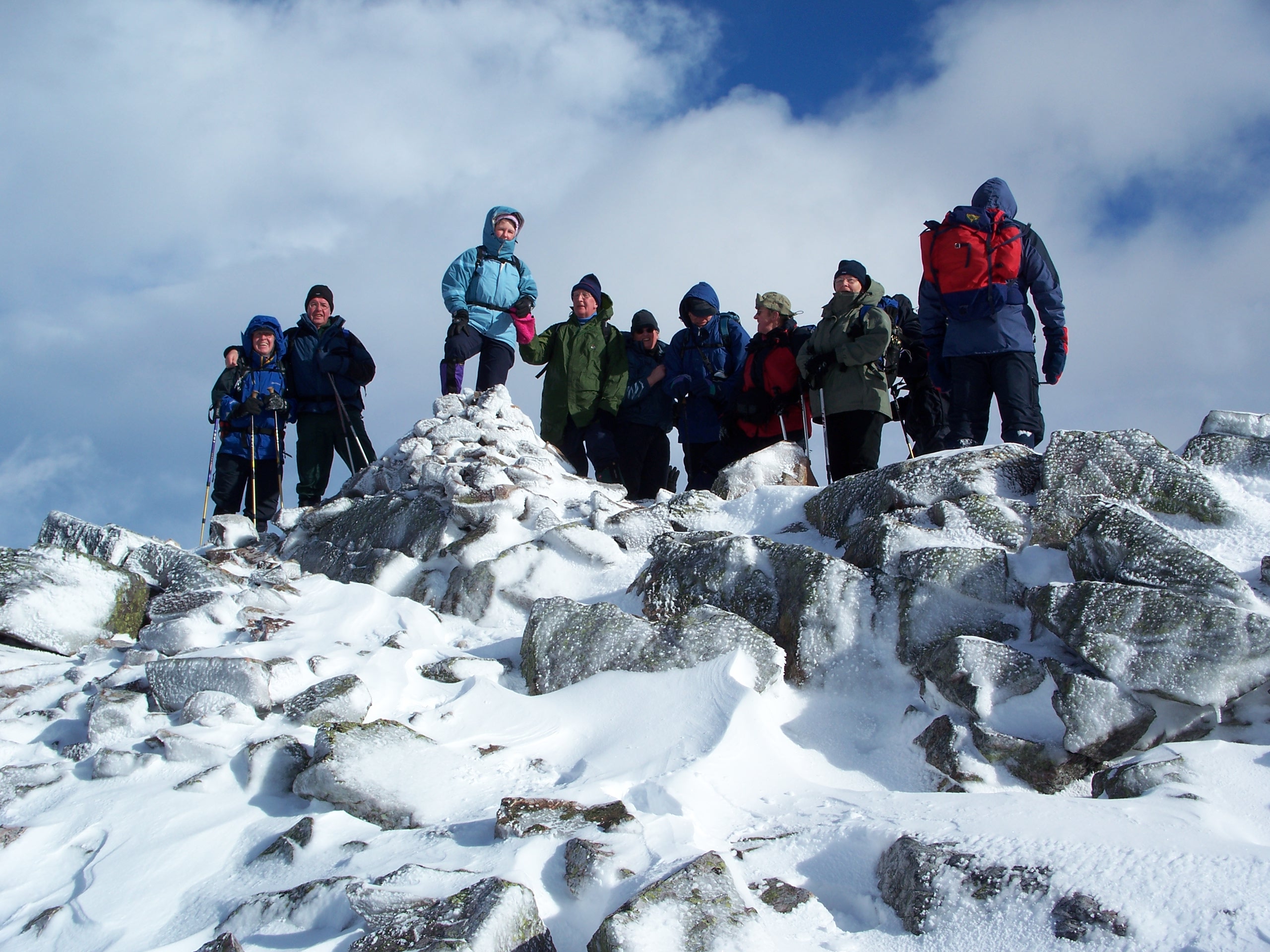
takes us to the top of Glas Maol (1068m) and the highest hill in the area.
From here we leave and head southwards across the rolling grass to the ridge
leading to Creag Leacach the second Munro of the trip (987m). We continue
southwards taking in the various subsidiary tops to what is listed on the OS
maps as Tomb. Here we join the Cateran Trail for the final one and half
kilometres to the refuge of the Spittal of Glenshee. Overall descent on
this route of approx 1022m.
 |
 |
| A wintry Creag Leacach | Glas Maol from Creag Leacach |